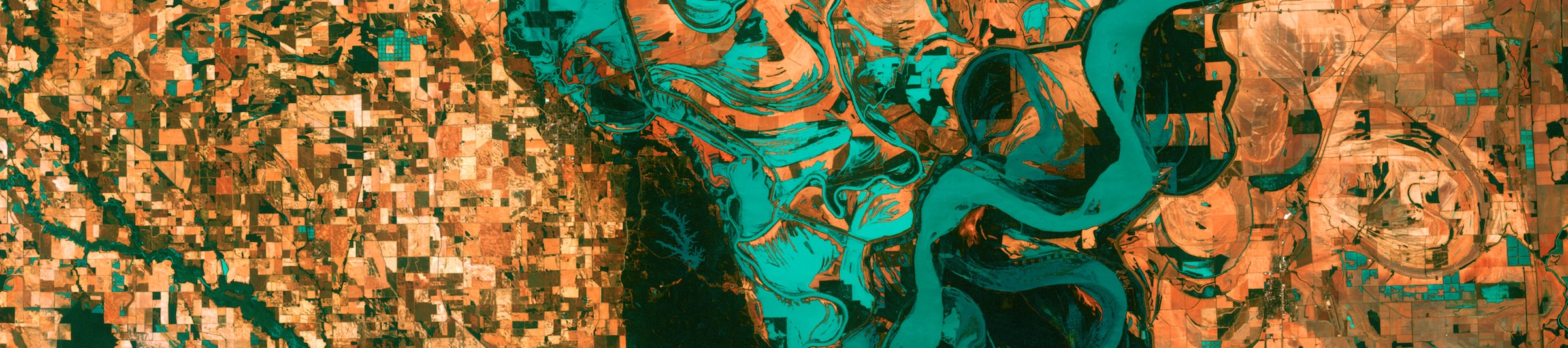
Figure 1: Image: Mississippi River south of Memphis, TN, from USGS shared on Unsplash (https://unsplash.com/photos/35Z2ylLRCO8).
Welcome to EDS 223
This course introduces the spatial modeling and analytic techniques of geographic information science to data science students. The emphasis is on deep understanding of spatial data models and the analytic operations they enable. Recognizing remotely sensed data as a key data type within environmental data science, this course will also introduce fundamental concepts and applications of remote sensing. In addition to this theoretical background, students will become familiar with libraries, packages, and APIs that support spatial analysis in R.
Welcome!
Teaching team
Instructor: Ruth Oliver (rutholiver@bren.ucsb.edu)
- Office: Bren Hall 4512
- Student hours: Friday 1-2pm PT
- The best way to contact me is: email
Teaching assistant: Allie Caughman (acaughman@bren.ucsb.edu)
- Student hours: Tuesday 12:30-1:30pm PT (Bren 3526)
- The best way to contact me is: email
Important links
Weekly course schedule
- Tuesday 9:30-12:15 PT (Bren Hall 1424)
- Discussion section - Thursday 11:30-12:20 or 12:30-1:20 PT (Bren 3526)
Course requirements
R version 4.2.0 (or higher)
RStudio version 2022.07.01 (or higher)
GitHub account
Tentative topics
| Week | Topics |
|---|---|
| 1 (10/2) | Course overview & intro to spatial data models |
| 2 (10/9) | Intro to vector data |
| 3 (10/16) | Vector operations |
| 4 (10/23) | Intro to raster data & operations |
| 5 (10/30) | Guest speakers |
| 6 (11/6) | Intro to RS & EM radiation |
| 7 (11/13) | RS data collection |
| 8 (11/20) | RS of vegetation |
| 9 (11/27) | Multispectral RS analysis |
| 10 (12/4) | Active RS |